Tesla Abandoning Camera-Only Strategy to Build Internal Navigation Maps
The automaker is developing a proprietary mapping system to resolve persistent flaws in speed limit recognition and routing, marking a significant departure from its long-standing vision-centric philosophy.
By Ahmed Mansour ·
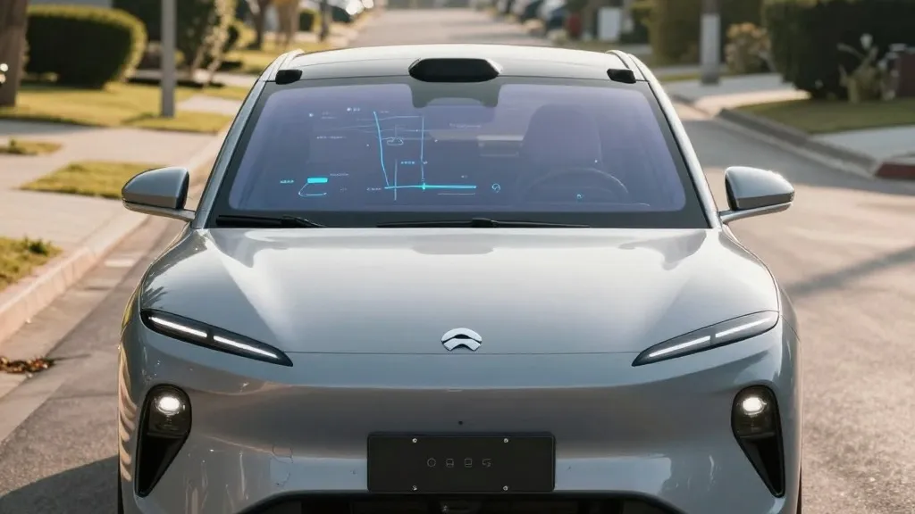
Tesla is constructing a proprietary mapping system to address fundamental inaccuracies in its Full Self-Driving capabilities, a strategic pivot that contradicts years of executive rhetoric dismissing the need for detailed cartography.
During the company’s third-quarter 2026 earnings call, Ashok Elluswamy, Tesla’s vice president of artificial intelligence, detailed the development of this new infrastructure. The initiative is designed to rectify specific failures in the current system, which frequently struggles to interpret speed limits, identify parking spaces, and select optimal routes. Elluswamy acknowledged that the company should no longer rely on external providers for critical navigation data, signaling a move toward full internal control of the mapping stack.
The decision follows persistent criticism from shareholders, who noted that mapping remains a significant friction point for users. A retail investor specifically highlighted that third-party maps often fail to account for local traffic rules and driver preferences. In response, Elluswamy explained that the new architecture is AI-based and utilizes data collected from Tesla’s extensive fleet. This system will not only map roads but also learn individual driver habits and respond to voice commands, integrating navigation more deeply into the driving experience.
The rollout of this technology is scheduled to begin with the launch of FSD version 15. Initially, the system will manage the start and end points of trips. Over the coming months, it is expected to assume broader responsibilities, including active navigation, parking assistance, and destination handling. This phased approach allows Tesla to refine the data pipeline before fully integrating the maps into the core driving logic.
This development represents a notable reversal in Tesla’s historical stance on autonomous driving technology. In 2015, when the company first introduced Autopilot, it claimed to be building high-precision maps with significantly greater granularity than standard navigation tools. However, by 2019, CEO Elon Musk had publicly rejected this approach, labeling high-precision lane maps as a "huge mistake" that made self-driving systems brittle. At that time, he argued that Tesla could solve the driving challenge using cameras and artificial intelligence alone, famously dismissing lidar as a "fool’s errand." The current strategy suggests that the camera-only approach has reached a plateau in its ability to interpret complex environmental cues.
The specific issues Tesla aims to solve with this new map layer are critical to public safety and user confidence. Recent independent analyses have highlighted significant gaps in FSD’s environmental awareness. For instance, a Belgian road safety group found that the system exceeded speed limits in the majority of 30 km/h zones tested in Brussels, often because the vehicle’s display incorrectly indicated a higher limit. Similarly, the National Highway Traffic Safety Administration in the United States is considering an investigation into reports that Tesla’s Robotaxis speed through active school zones, a concern affecting approximately 1,000 vehicles in the fleet.
By building its own maps, Tesla is converging operationally with competitors like Waymo, which has long relied on detailed, lidar-assisted maps to define its service areas. While Tesla’s new maps may not initially match the centimeter-level precision of Waymo’s high-definition maps, the underlying logic is similar: using fleet data to create a digital representation of the world that assists the vehicle’s decision-making. This approach aligns with Tesla’s current Robotaxi operations, which function within specific geofenced areas rather than open-ended, city-wide environments.
The shift underscores the complexity of achieving true autonomy through vision alone. If a system cannot reliably read a standard speed limit sign, a foundational element of road information, the addition of a dedicated map layer becomes a logical corrective measure. Tesla’s new strategy suggests that while artificial intelligence remains central to its driving model, it now requires a more robust and internally managed data foundation to ensure accuracy.
As Tesla moves forward, the implementation of this new mapping architecture will be closely watched by investors and safety regulators. The success of this initiative will determine whether FSD can overcome its current limitations and expand its operational footprint. For now, the company is proceeding with the build, acknowledging that the path to reliable autonomous driving involves integrating multiple data sources rather than relying on a single sensory input.
Source: Electrek